


EFT Professional Mapping Aerial Survey Instrument UAV Frame E620P Can Match GPS RTK Surveying Drone

Advanced UAV frame design for professional-grade mapping and aerial surveying
Compatible with GPS RTK technology for precise and accurate surveying
Durable and corrosion-resistant materials for long-lasting performance
Easy-to-use interface for simplified operation and maintenance
High-quality aerial surveying instrument for precise data collection
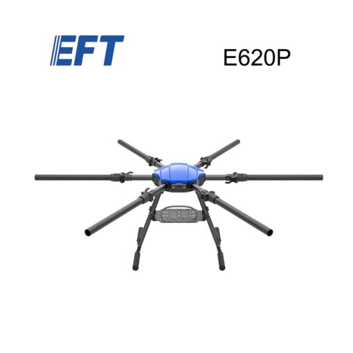
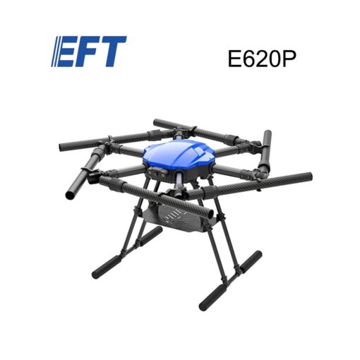
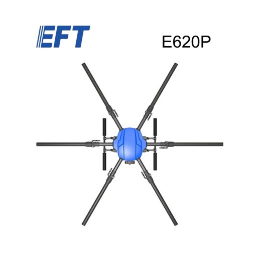
EFT E620P UAV Frame – Professional Mapping and Aerial Survey Instrument
Experience professional-grade mapping and aerial surveying with the EFT E620P UAV frame, designed for precision and accuracy.
Description:
Professional-grade mapping and aerial surveying with the EFT E620P UAV frame, designed for precision and accuracy. This advanced UAV frame is designed to improve your surveying and mapping operations.
Specifications:
- Frame Size: 620mm
- Weight: Approximately 4kg
- Payload Capacity: Up to 2kg
- Flight Time: Up to 20 minutes
- Motor Type: High-torque brushless motor
Benefits:
Improve surveying and mapping accuracy through advanced GPS RTK technology
Increase efficiency and productivity through automated UAV operations
Enhance data collection and analysis through high-quality aerial surveying instruments
Reduce costs and improve safety through precise and accurate surveying
Improve decision-making through accurate and reliable data
Keyword:
EFT professional mapping aerial survey instrument UAV frame E620P
E620P UAV frame
Professional mapping and aerial surveying
GPS RTK surveying drone
UAV frame for mapping and surveying
Advanced aerial surveying instrument
Precision agriculture
Drone-based surveying solutions
Best UAV frames for professional mapping and aerial surveying
Advanced GPS RTK technology for surveying and mapping
Drone-based surveying solutions for precision agriculture
Be the first to review “EFT Professional Mapping Aerial Survey Instrument UAV Frame E620P Can Match GPS RTK Surveying Drone”
Related products


Camera


Uncategorized


Uncategorized

Camera


Action Cam


Reviews
There are no reviews yet.